Street-Level Threat Intelligence for Mission and Force Protection
Government missions depend on knowing what is happening on the ground and in the airspace above it, yet the intelligence that informs force protection, travel security, and installation defense is often fragmented, inconsistent, or locked behind black-box vendor scores. Analysts spend the majority of their time hunting for data across disconnected sources, and the assessments they produce are difficult to defend when methodology changes from one analyst to the next. Base Operations closes this gap.
Base Operations is a software platform that decodes the world's threat landscape into clear, comparable, street-level intelligence built for operators rather than data scientists. The platform aggregates more than 25,000 global sources, including local and national police records, government feeds, emergency calls, and open datasets, and structures them into a single operating picture of crime and unrest. Federal teams can assess any U.S. address with 99 percent national coverage and locations across 5,000+ cities worldwide at 0.1-mile granularity, comparing risk across installations, field offices, and travel destinations using one consistent, transparent methodology. That global reach matters as much overseas as it does at home, supporting force protection at forward installations, travel security for personnel abroad, and global posture planning.
At the core is BaseScore, an explainable 0 to 100 risk index that lets a planner brief leadership with defensible numbers instead of vague high, medium, or low ratings. Proprietary AI modeling fills coverage gaps in sparse-data regions where other vendors go dark, corrects for reporting changes, and forecasts emerging risk using historical, seasonal, and spatial patterns.
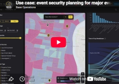
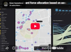
That same approach extends to the airspace. Base Operations' Counter-UAS analytics aggregate years of drone-sighting data from sources including the FAA, AFNORTH, the Air Force Office of Special Investigations, and the Aviation Safety Reporting System into a unified small-unmanned-aircraft threat picture around installations. Events are geocoded and linked to specific sites, normalized for population, and scored for risk, revealing seasonal peaks, high-priority nighttime activity in isolated areas, and the locations that warrant a Tier 1 defense posture. Analysis of Air Mobility Command data found that roughly two-thirds of drone events occur within ten miles of military installations, with a quarter concentrated around just 25 sites, intelligence that directly shapes staffing, counter-UAS readiness, and event security planning.
Teams export briefing-ready assessments in seconds and can embed risk scores into existing mission systems through a REST API. The result is measurable: assessments run up to five times faster, intelligence task time drops by roughly 70 percent, and the same team can cover three times more sites without adding headcount. Base Operations is live with the U.S. Air Force Air Mobility Command under an active SBIR Phase II effort, where the Counter-UAS work originated, and is trusted by more than 25 Fortune 1000 enterprises, validation that reduces adoption risk for public-sector buyers. For defense, intelligence, and federal law enforcement organizations charged with protecting people, assets, and operations, Base Operations is the missing link between raw open-source data and proactive, data-driven security decisions, on the ground and in the air.