



Geospatial Solutions
As Government organizations continue to advance their geospatial investment, it is imperative to seek out solutions that support mission success. Geographic Information Systems (GIS), Unmanned Aerial Systems (UAS), Architecture Engineering Construction (AEC) and other spatial technologies allow Government agencies to collect and analyze critical geographic data.
Carahsoft combines a deep knowledge of the geospatial landscape with leading technology solutions from our partners to accurately match project requirements with supporting technologies. Our geospatial experts help the Public Sector create an end-to-end geospatial workflow for their agency.


Geospatial Technology and Software Solutions for Government
The Geospatial Solutions Portfolio at Carahsoft is composed of several complementary technologies that aid in the collection, dissemination, exploitation and analysis of geographic and aerial information. Our technologies enable organizations to improve decision making with:
- Modern mapping platforms
- Relevant location-based data
- Effective information processing
- Satellite and aerospace visualization
- Drone monitoring solutions
Explore Carahsoft’s partner portfolio of Geospatial solutions below.
-
 Geospatial (89)

All Geospatial Vendors
Autonomy and Robotics Technology Solutions
Autonomous and robotic solutions provide a means to gather data and improve situational awareness in order to access, monitor and complete tasks remotely while maintaining cost and resource efficiency. Carahsoft’s Autonomy and Robotic Technology solutions portfolio brings together a variety of industry-leading solutions that can provide invaluable data including photogrammetric and thermographic analysis, high-quality imagery and more. Discover technology solutions that help your organization streamline geographical data workflows, prioritize personnel safety and advance mission success.


Carahsoft’s Aerospace and Maritime Portfolio
Alongside our Geospatial portfolio, Carahsoft’s Aerospace and Maritime solutions support government agencies operating across air, sea and space. From advanced aircraft and navigation systems to maritime platforms and geospatial tools, our technologies enhance situational awareness, monitor threats and enhance national security. Explore our Aerospace and Maritime solutions to learn more.
Trending Topics: Geospatial
Carahsoft and Solution Partners to Showcase Geospatial Solutions at GEOINT Symposium in Aurora, Colorado, May 3-6, 2026


ConsLog and Carahsoft Partner to Bring Project Management Information Systems to the Public Sector


Terra Pixel’s Positioning Awareness & Warning System (PAWS) Now Available to Public Sector Through Carahsoft Contract Vehicles



 September 10, 2026
 1:00 PM ET


Geospatial Technology Trends
-

The Hidden Cost of Disconnected Roadway and Bridge Design
September 4th, 2026
Improve transportation project delivery by connecting OpenRoads Designer and OpenBridge Designer workflows, reducing rework and improving coordination.
-

Procore Federal Year-End: Why It Matters for Construction and Capital Projects
September 1st, 2026
Maximize Federal year-end funding with a strategic construction technology investment. Learn six practical steps to improve efficiency with Procore.
- Tagged Federal Government, Geospatial, Procore
-

Modernizing Mission-Critical DOE Infrastructure: From Data Silos to Secure Program Visibility
August 25th, 2026
Discover how the DOE can improve program oversight and reduce data silos with connected project delivery and lifecycle-wide program management.
- Tagged Cybersecurity, Federal Government, Geospatial, Procore
-
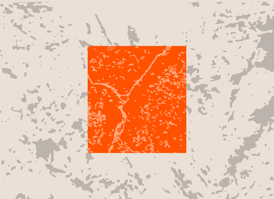
From Data Islands to Defensible Intelligence: Modernizing Public Sector Transportation Infrastructure
May 6th, 2026
Modernize Public Sector transportation with connected data and defensible intelligence. Improve visibility and compliance across the project lifecycle.
- Tagged data, Federal Government, Geospatial, Procore, Transportation
-

Top 10 Geospatial and Space Events for Government in 2026
February 23rd, 2026
Check out Carahsoft's inclusive list of the top Geospatial events in Government for 2026 and learn more about our partners' involvement.
- Tagged Geo Week, GEOINT, Geospatial, SATELLITE, Sea-Air-Space, SOF Week, Space Symposium, Top Events
-

Forecasting Resilience: How Atlas 14 Strengthens Stormwater and Sewer Design
October 16th, 2025
Atlas 14 has always been foundational, but recent updates and regulatory emphasis have made it non-negotiable in many contexts.
- Tagged Bentley, Geospatial, State and Local Government
-
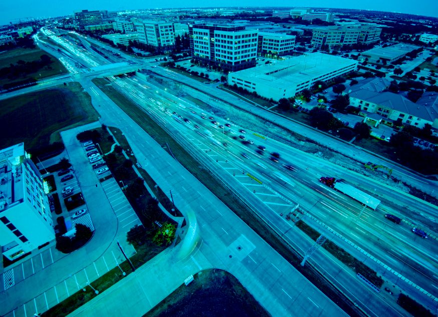
From Insights to Intervention: Building Safer Roads with Smarter Data
September 26th, 2025
Discover how real-time dashcam data enables proactive road maintenance, helping agencies detect hazards early, reduce risks and improve safety.
-

Transforming Public Sector Fleet Safety: How AI-Powered Solutions Drive Results and Build Employee Trust
July 18th, 2025
Discover how Public Sector fleet safety initiatives are leveraging AI-powered solutions to reduce crashes, cut costs and gain union buy-in.
- Tagged Artificial Intelligence, Federal Government, Geospatial, Public Safety, Samsara, State and Local Government
-

The Top 6 Insights from GEOINT 2025
May 23rd, 2025
Explore the top 6 takeaways from GEOINT Symposium 2025 about what is shaping the future of geospatial intelligence and national security.
- Tagged Artificial Intelligence, Cybersecurity, Department of Defense, GEOINT, Geospatial, Tradeshow, US Space Force






Technology by Policy
Executive Order 14369: Ensuring American Space Superiority
The order establishes three major milestones: returning Americans to the Moon by 2028, demonstrating next-generatio...
Ensuring Government Use of Secure Unmanned Aircraft Systems and Supporting U.S. Producers
The OMB Memorandum M‑26‑02, issued under the American Security Drone Act, sets government-wide policy requiring...
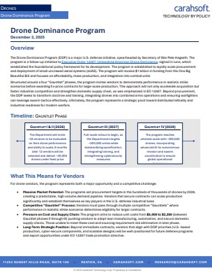
Drone Dominance Program
The Drone Dominance Program invest in large-scale production of affordable attack drones to strengthen U.S. militar...
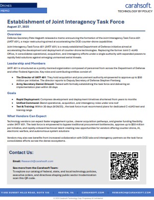
Establishment of Joint Interagency Task Force
The Interagency Task Force is established in order to accelerate deployment and coordination of counter-drone techn...
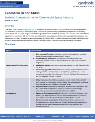
Executive Order 14335: Enabling Competition in the Commercial Space Industry
Executive Order 14335: Simplifies licensing and the regulatory processes to expand U.S. commercial space launches a...
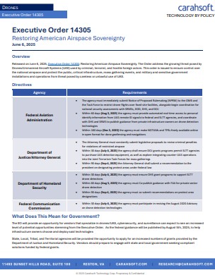
Executive Order 14305: Restoring American Airspace Sovereignty
Executive Order 14305 Enhances national airspace security through tighter drone regulation and advanced counter-UAS...
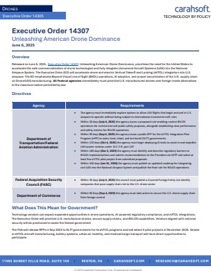
Executive Order 14307: Unleashing American Drone Dominance
Executive Order 14307 Pushed rapid integration of drones into U.S. airspace, boost domestic manufacturing, and promotes global drone leadership.