
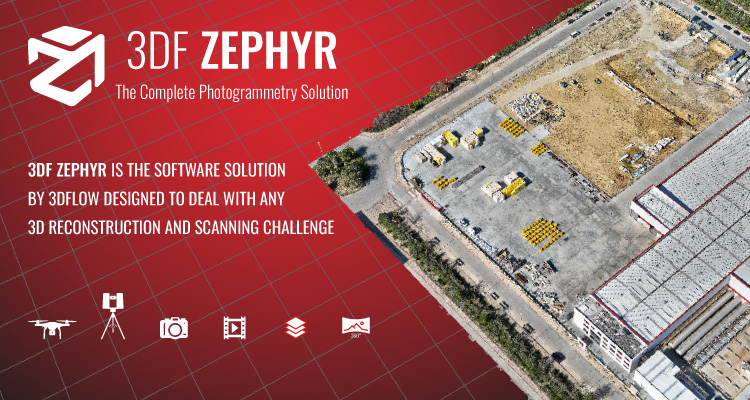
Secure Photogrammetry for the Public Sector with 3DF Zephyr by 3Dflow
3Dflow specializes in Computer Vision and Image Processing software. We were founded in 2011, as an academic spinoff. The company is now on version 8 of its proprietary software 3DF Zephyr, a complete photogrammetry suite that converts images, laser scans and videos into accurate 3D models and digital twins. Built with native C++ and optimized for multi-GPU performance, 3DF Zephyr provides efficient processing of aerial, ground, and underwater imagery. It includes advanced tools for CAD interoperability, LiDAR integration, and orthophoto-DEM generation. Designed with data privacy in mind, 3Dflow’s flagship software solution focuses on security and operational flexibility. Addressing the specific data handling requirements of the U.S. Public Sector, 3DF Zephyr supports full offline activation and computation. This capability ensures that sensitive data — whether collected from a crime scene or infrastructure survey - can be processed entirely within an agency's secure local network without requiring external connectivity.
Supporting Public Sector Missions
3Dflow's technology is leveraged across various sectors to assist with complex on-site challenges:
- Law Enforcement & Forensics: Police departments use 3DF Zephyr to assist in accident reconstruction and crime scene documentation. The software helps investigators preserve scenes digitally, enabling accurate measurements and clear visualizations to support case files.
- Critical Infrastructure & Telecom: for assets such as telecommunication towers and high-voltage structures, the software facilitates remote structural assessment. This approach helps reduce the frequency of manual climbs and aids regular maintenance cycles through 3D modeling.
- Precision Agriculture & Land Management: agencies apply 3DF Zephyr's processing capabilities to analyze crop health and monitor environmental changes, effectively managing public lands using drone-captured imagery.
- Maritime & Underwater Surveying: the software algorithms can handle the specific conditions of subsea environments, supporting bathymetry tasks, pipeline inspection, and underwater surveys with reliable reconstruction tools.
With a foundation built on continuous research and development, 3Dflow aims to provide the accuracy and security required for government projects.