AVAILABLE 24x7
888.662.2724
AVAILABLE 24x7
(888) 66CARAH
Fast & Accurate
Request A Quote

Quick Response
Chat With Us



BlackBerry Whitepaper
AtHoc Geofencing Feature
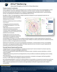
Location intelligence plays a critical role in helping federal organizations coordinate personnel and respond to incidents more effectively. This resource explores how AtHoc Geofencing combines map-based visualization and geofence-enabled workflows to improve operational awareness, enhance incident monitoring and strengthen response across distributed environments.
Key topics include:
- Improving operational awareness with location intelligence
- Leveraging map-based visualization
- Coordinating personnel with geofence-enabled workflows
- Monitoring incidents across distributed environments
- Enhancing response with greater geographic context
- Strengthening situational awareness
- Supporting mission-critical federal operations
Access this resource to learn how AtHoc Geofencing helps federal organizations improve coordination and response with location-based intelligence.
Download the Resource