AVAILABLE 24x7
888.662.2724
AVAILABLE 24x7
(888) 66CARAH
Fast & Accurate
Request A Quote
Quick Response
Chat With Us

Ito Resources
Ito and GoodMaps launch the most accessible, data-driven GTFS pathways and navigation solution
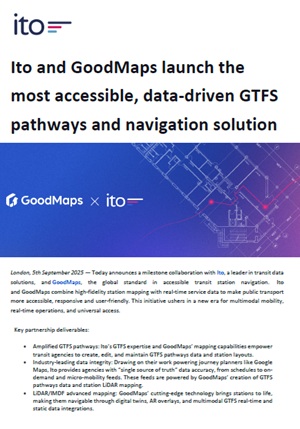
Ito and GoodMaps have partnered to create a data-driven, highly accessible transit navigation solution combining GTFS pathways with real-time service data. The collaboration leverages LiDAR and IMDF mapping, AR overlays, and multilingual support to provide inclusive, turn-by-turn guidance for passengers, including those with disabilities. Transit agencies benefit from accurate, maintainable GTFS pathway data, unified operations, and improved efficiency across planning, IT, and customer service. This solution sets a new benchmark for accessible, real-time, and multimodal transit navigation.
Download the Resource