AVAILABLE 24x7
888.662.2724
AVAILABLE 24x7
(888) 66CARAH
Fast & Accurate
Request A Quote
Quick Response
Chat With Us


Plum Identity Whitepaper
Fighting Fraud with Behavioral Analytics
By using behavioral analytics, you can ensure that you and your agency are protected from fraud. Read this whitepaper to discover how to minimize fraud and protect privacy and data.
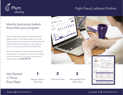
Download the Resource