AVAILABLE 24x7
888.662.2724
AVAILABLE 24x7
(888) 66CARAH
Fast & Accurate
Request A Quote
Quick Response
Chat With Us


Kion Whitepaper
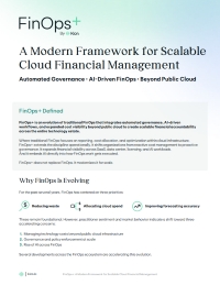
Governance for the Public Sector Cloud

As cloud adoption continues to rise, agencies are challenged to manage the technology to achieve full adoption and value. Read this whitepaper to learn how your agency can automate cloud governance and achieve organization-wide value in an efficient and cost-effective manner.

Download the Resource