Geospatial Solutions
As Government organizations continue to advance their geospatial investment, it is imperative to seek out solutions that support mission success. Geographic Information Systems (GIS), Unmanned Aerial Systems (UAS), Architecture Engineering Construction (AEC) and other spatial technologies allow Government agencies to collect and analyze critical geographic data.
Carahsoft combines a deep knowledge of the geospatial landscape with leading technology solutions from our partners to accurately match project requirements with supporting technologies. Our geospatial experts help the Public Sector create an end-to-end geospatial workflow for their agency.
Geospatial Technology and Software Solutions for Government
The Geospatial Solutions Portfolio at Carahsoft is composed of several complementary technologies that aid in the collection, dissemination, exploitation and analysis of geographic and aerial information. Our technologies enable organizations to improve decision making with:
- Modern mapping platforms
- Relevant location-based data
- Effective information processing
- Satellite and aerospace visualization
- Drone monitoring solutions
Explore Carahsoft’s partner portfolio of Geospatial solutions below.
-
 Geospatial (75)
All Geospatial Vendors
Autonomy and Robotics Technology Solutions
Autonomous and robotic solutions provide a means to gather data and improve situational awareness in order to access, monitor and complete tasks remotely while maintaining cost and resource efficiency. Carahsoft’s Autonomy and Robotic Technology solutions portfolio brings together a variety of industry-leading solutions that can provide invaluable data including photogrammetric and thermographic analysis, high-quality imagery and more. Discover technology solutions that help your organization streamline geographical data workflows, prioritize personnel safety and advance mission success.


Carahsoft’s Aerospace and Maritime Portfolio
Alongside our Geospatial portfolio, Carahsoft’s Aerospace and Maritime solutions support government agencies operating across air, sea and space. From advanced aircraft and navigation systems to maritime platforms and geospatial tools, our technologies enhance situational awareness, monitor threats and enhance national security. Explore our Aerospace and Maritime solutions to learn more.
Trending Topics: Geospatial
Geospatial Technology Trends
-
Forecasting Resilience: How Atlas 14 Strengthens Stormwater and Sewer Design
October 16th, 2025
Atlas 14 has always been foundational, but recent updates and regulatory emphasis have made it non-negotiable in many contexts.
- Tagged Bentley, Geospatial, State and Local Government
-
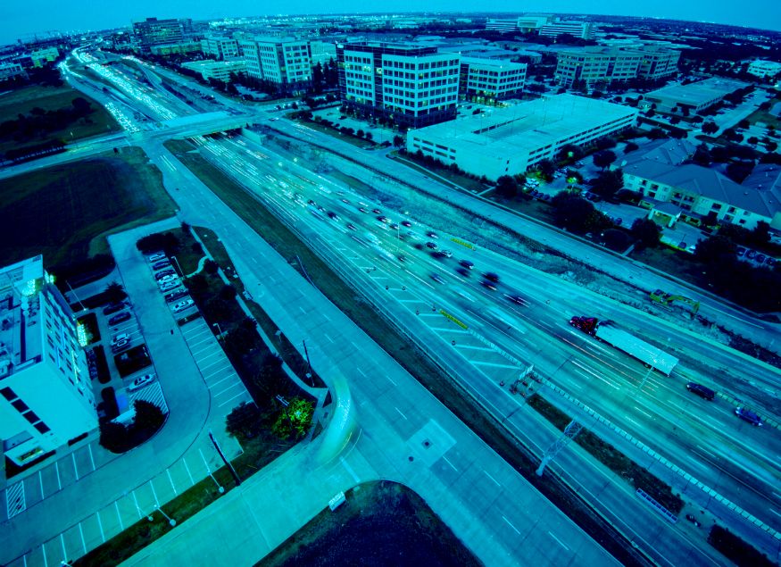
From Insights to Intervention: Building Safer Roads with Smarter Data
September 26th, 2025
Discover how real-time dashcam data enables proactive road maintenance, helping agencies detect hazards early, reduce risks and improve safety.
-
Transforming Public Sector Fleet Safety: How AI-Powered Solutions Drive Results and Build Employee Trust
July 18th, 2025
Discover how Public Sector fleet safety initiatives are leveraging AI-powered solutions to reduce crashes, cut costs and gain union buy-in.
- Tagged Artificial Intelligence, Federal Government, Geospatial, Public Safety, Samsara, State and Local Government
-
The Top 6 Insights from GEOINT 2025
May 23rd, 2025
Explore the top 6 takeaways from GEOINT Symposium 2025 about what is shaping the future of geospatial intelligence and national security.
- Tagged Artificial Intelligence, Cybersecurity, Department of Defense, GEOINT, Geospatial, Tradeshow, US Space Force
-
The Top Geospatial and Space Tech Events for Government in 2025 and Beyond
May 6th, 2025
Learn about the Top 10 Geospatial events discussing how geospatial and space tech revolutionize how Government agencies leverage location-based data.
- Tagged Carahsoft Events, CyberSat, FOSS4G, Geo Week, Geography 2050, GEOINT, Geospatial, SATELLITE, sea air space, Sea-Air-Space, SOF Week, Space Symposium
-
Improve Airport Operations, Efficiency and Oversight with GIS Technology
February 11th, 2025
Optimize airport operations using real time data, GIS mapping and geofencing using the Samsara Connected Operations Cloud and Esri’s ArcGIS Velocity.
- Tagged Esri, Federal Aviation Administration, Geospatial, GIS, Samsara
-
Unlocking New Potential at GEOINT 2023
June 19th, 2023
GEOINT attendees left the symposium empowered with insights from government and industry leaders to effectively utilize tech and achieve new heights.
- Tagged Artificial Intelligence, GEOINT, Geospatial, Government Conference, National Geospatial-Intelligence Agency, US Geological Survey, USGIF
-
DoDIIS Takeaways: IT Workforce, Partnerships, Interoperability and Data Management
March 14th, 2023
Discussions at DoDIIS examined DoD and IC challenges for IT workforce development and retention, partnerships, interoperability and data management.
- Tagged Department of Defense, DIA, DoDIIS, Geospatial, Government Conference, HR and Training Technology, National Security and Intelligence, Zero Trust

