
Civil Works and Construction Data Modernization with Google Cloud
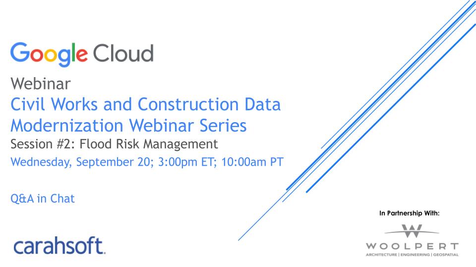
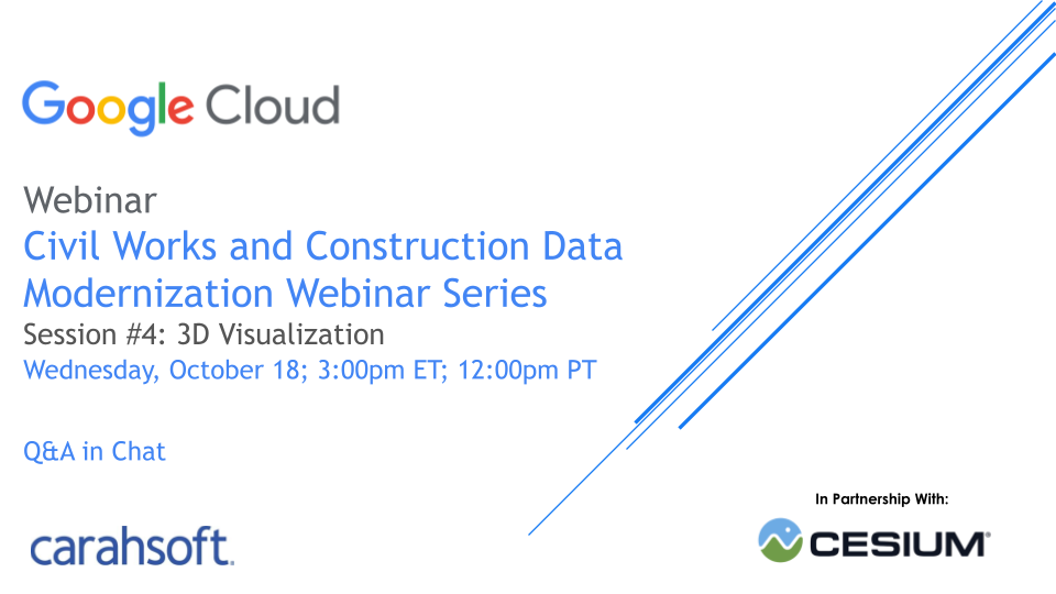
Modernizing Geospatial, Flood, Climate Change, and Research and Development Data Series
Civil works and environmental organizations are facing the challenge of building and maintaining safe, reliable infrastructure with legacy systems. To overcome the hurdles of outdated systems and siloed data, agencies are turning to the Google Cloud Platform for geospatial workloads and applications. The United States Department of Defense (DoD) and other agencies can streamline public works and construction processes with Google Cloud's enhanced data sharing and visualization capabilities.
Watch the Civil Works and Construction Data Modernization series to optimize construction operations and address environmental issues through real-time geographic visualization and analytics. Join our industry experts and engineers for demonstrations on Google Cloud’s geospatial solutions and real-world use cases that will empower your agency to achieve efficiency and sustainability.
Fill out the form and access the Google Cloud webinar series to discover how Federal agencies can streamline civil works and construction processes at scale.
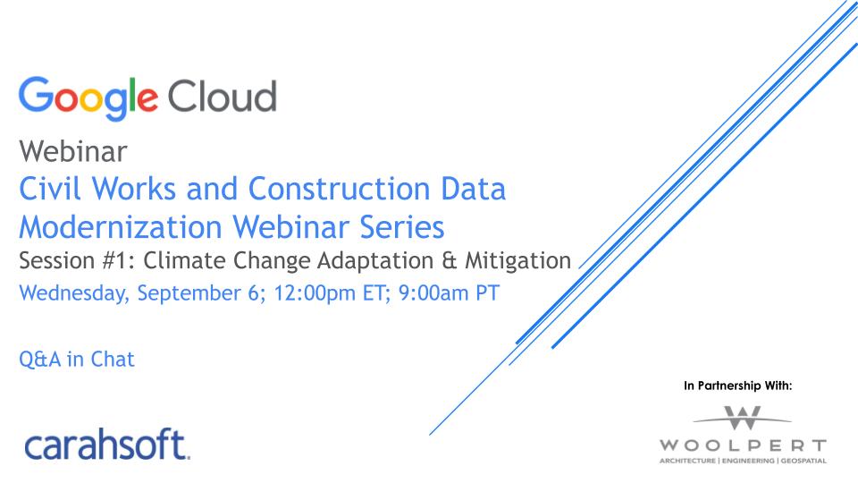
Adaptation & Mitigation
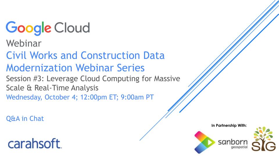
& Development in the Cloud
