
Autonomy and robotics are reshaping how Government agencies approach defense, public safety, infrastructure and mission-critical operations. From Uncrewed Aerial Systems (UASs) and artificial intelligence (AI)-enabled platforms to geospatial intelligence (GEOINT) tools and autonomous maritime solutions, these technologies are accelerating innovation across every domain of the Public Sector. Carahsoft Technology Corp., The Trusted Government IT Solutions Provider®, is a leading resource for Government agencies navigating this rapidly advancing field, connecting agencies with a robust ecosystem of vendor partners and solutions tailored to the unique demands of defense, law enforcement and civilian missions. Below, we highlight the top autonomy and robotics events of 2026 where Carahsoft will be present to help Government professionals explore, evaluate and adopt the latest in autonomous technology.
Sea-Air-Space
April 19–22, 2026 | National Harbor, MD | In-Person Event
Sea-Air-Space, hosted by the Navy League of the United States, is North America’s largest annual maritime defense exposition, drawing policy makers, senior military leaders, program managers and industry decision makers from across the sea services. The event spans four expansive exhibit hall experiences and 22 sessions—including keynotes, strategy luncheons and expert-led industry discussions—focused on the future of maritime, naval and defense operations. Government attendees will find timely value in sessions addressing AI and robotics for sustainment and manufacturing, naval IT modernization, cybersecurity for critical infrastructure and the Marine Corps’ evolving force structure.
Carahsoft will showcase its aerospace and maritime technology solutions and partner ecosystem at Sea-Air-Space 2026, giving attendees direct access to innovative capabilities spanning autonomous systems, defense communications and advanced maritime technologies. Stop by Carahsoft’s booth (#415) at Sea-Air-Space and explore technologies from our 36 demoing partners. Our team will be on hand throughout the event to engage with naval and defense professionals on how Carahsoft’s trusted partnerships can support their mission requirements.
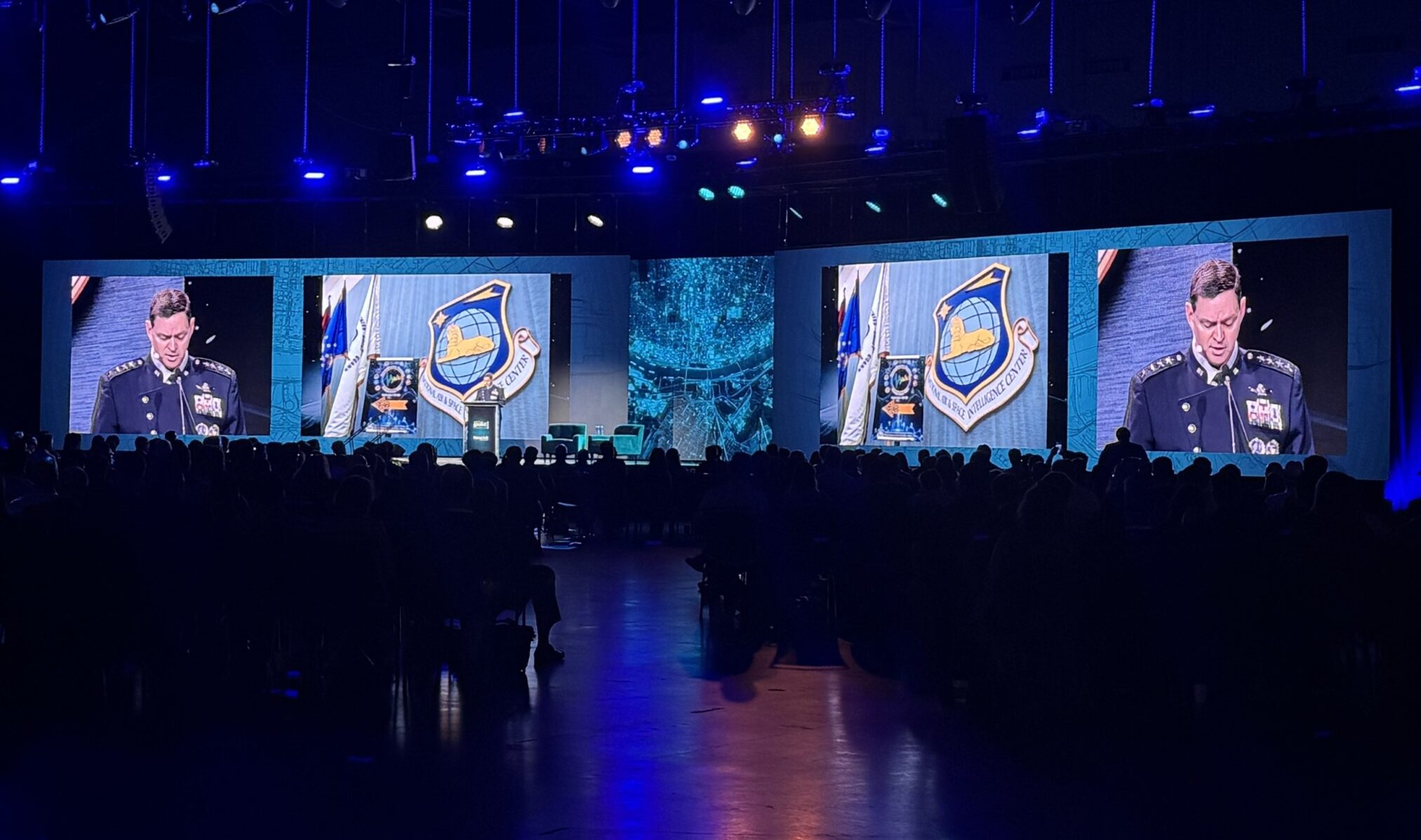
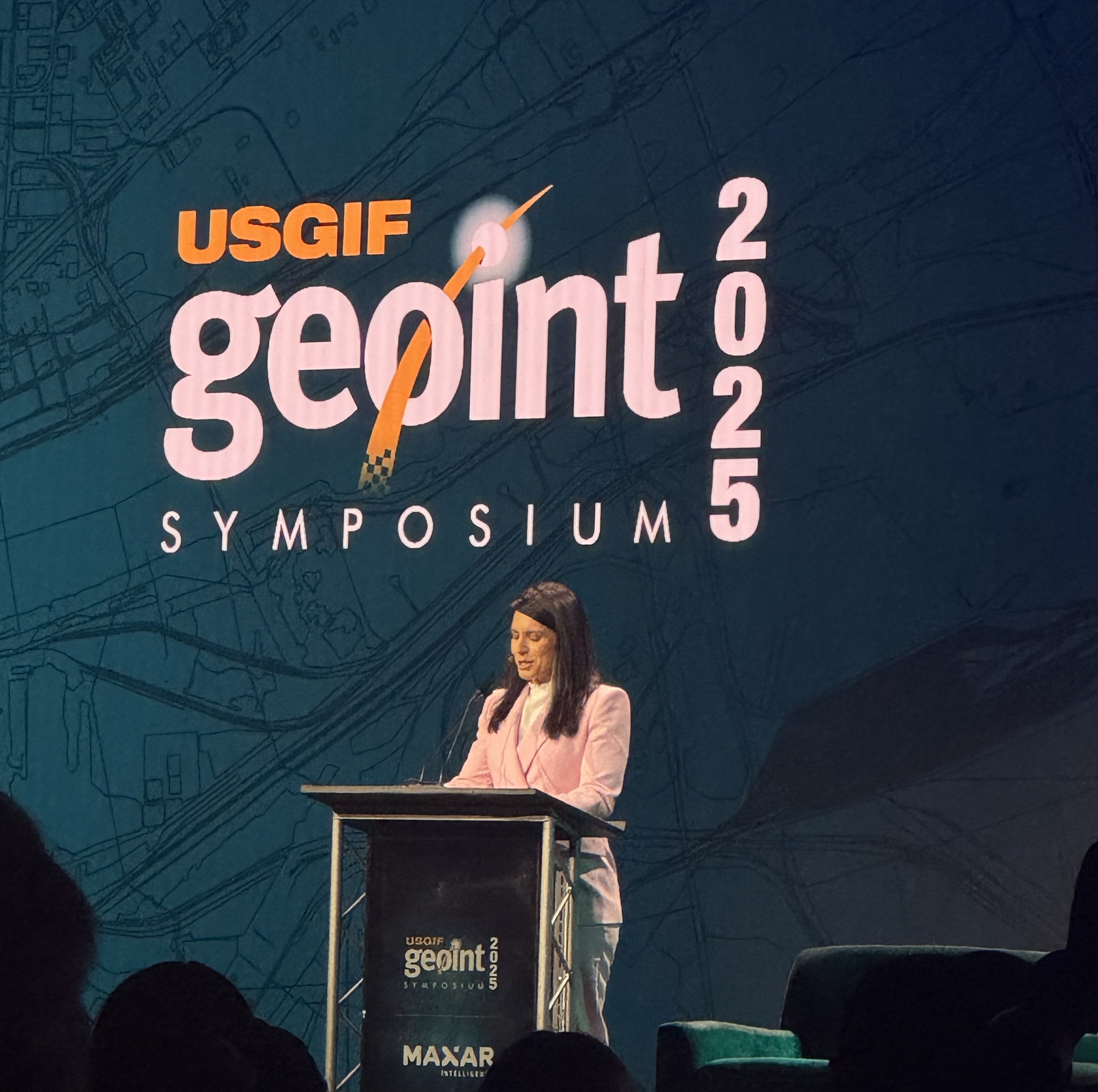
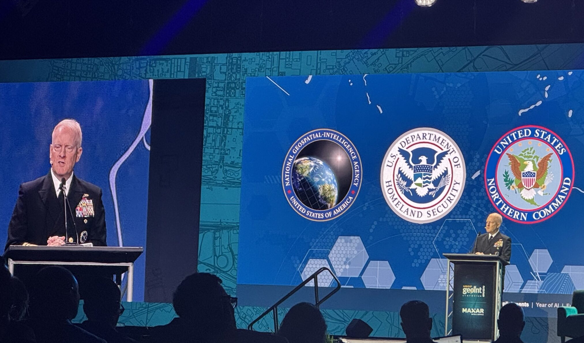
GEOINT Symposium
May 3–6, 2026 | Aurora, CO | In-Person Event
Hosted annually by the United States Geospatial Intelligence Foundation (USGIF), the GEOINT Symposium is the nation’s foremost gathering of GEOINT professionals dedicated to advancing the GEOINT tradecraft across Government, industry, academia and professional organizations. The event explores the intersection of technology and national security, engaging experts and innovators to address challenges and opportunities in today’s complex geopolitical landscape. With more than 33 events across the program—including 14 dedicated sessions, morning and afternoon training tracks and rich networking opportunities—GEOINT 2026 provides exceptional value for professionals at the forefront of geospatial and autonomous intelligence.
Sessions to look out for:
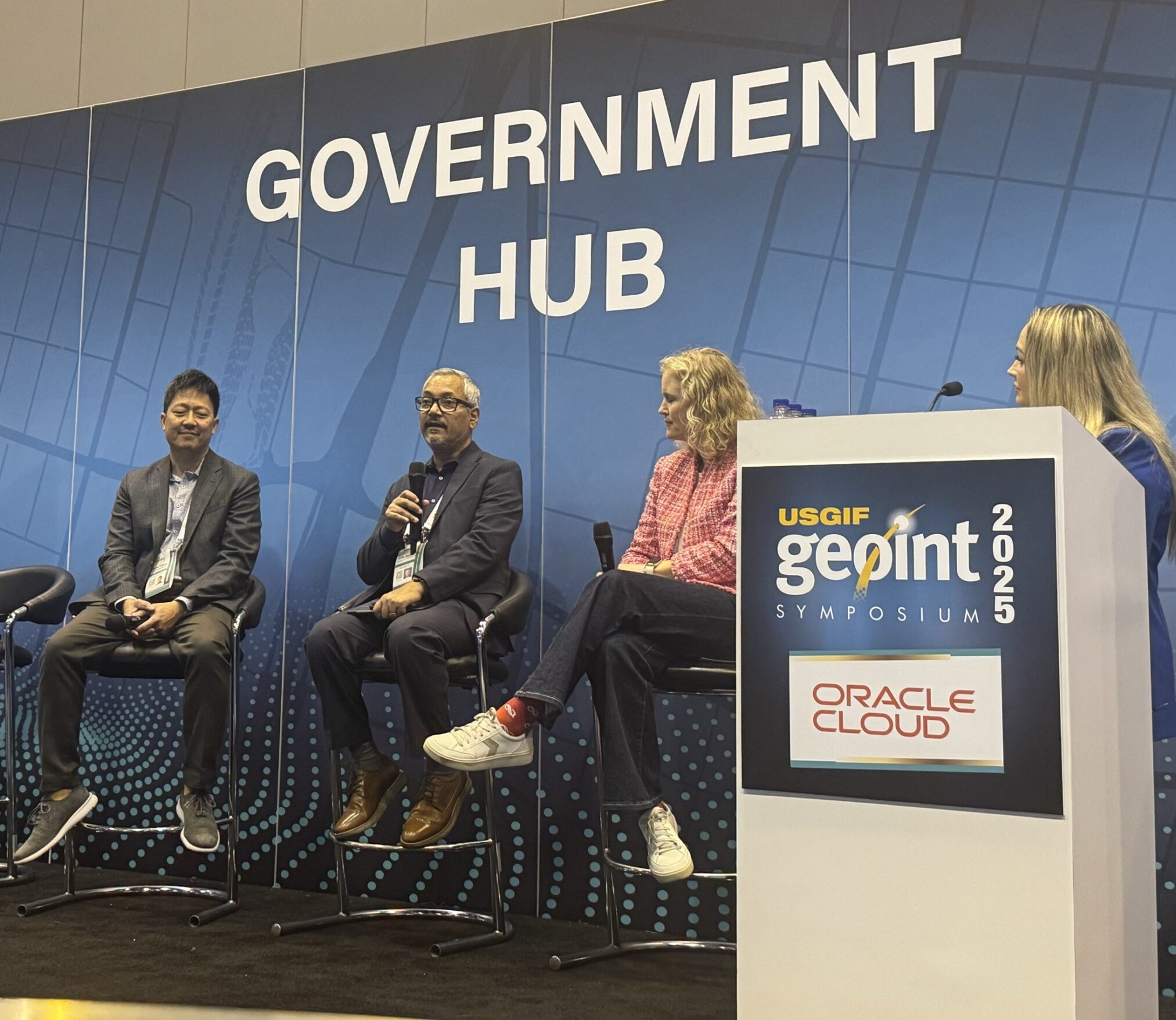
- Main Stage Panels: National security executives and industry professionals will discuss advancements redefining GEOINT, providing insights into the latest developments and future direction.
- Training Sessions: Participants can engage in hands-on training on topics such as mission planning, precision timing and navigation, enhancing their practical skills and knowledge in GEOINT applications.
Carahsoft will have a strong presence at GEOINT 2026, featuring a pavilion (Booth #1823) with partner demos throughout the show. As intelligence agencies pursue enhanced situational awareness, precision analytics and real-time decision superiority, we remain focused on linking GEOINT professionals with capabilities that amplify mission effectiveness. Additionally, Carahsoft will host a networking reception offering an evening of food, music and networking. Check back for more details closer to the event!
XPONENTIAL 2026
May 11–14, 2026 | Detroit, MI | In-Person Event
The Association for Uncrewed Vehicle Systems International (AUVSI’s) XPONENTIAL is the premier global event for uncrewed systems and autonomous technology, connecting professionals across the air, land, sea and space autonomy domains in one expansive program. The conference encompasses regulatory and policy sessions, technical workshops, live demonstrations and hundreds of exhibitors representing the full spectrum of autonomous capabilities available today. A standout addition for 2026 is the Law-Tech Connect Workshop (May 13–14), a co-located program bringing together legal, policy and technical leaders to navigate the evolving regulatory and legal landscape governing uncrewed and autonomous systems.
Carahsoft will be exhibiting at XPONENTIAL 2026 at booth #34022 with live technology demonstrations from our autonomy and robotics vendor partners, offering Government attendees hands-on opportunities to explore mission-enabling solutions across multiple domains. Our team will be available throughout the event to help agencies identify and evaluate the technologies best suited to their operational requirements and compliance obligations.
SOF Week
May 18–21, 2026 | Tampa, FL | In-Person Event
SOF Week is the leading annual conference for the international Special Operations Forces (SOF) community, jointly sponsored by U.S. Special Operations Command (USSOCOM) and the Global SOF Foundation. The event unites thousands of special operators, defense industry leaders and international partners around trailblazing capabilities, strategic priorities and next-generation technologies shaping the future of SOF missions.
Sessions to look out for:
- ISR, GEOINT and Mission Planning Technologies
- SOF Interoperability and Multi-Domain Operations
- Emerging Technologies Supporting Tactical Decision-Making
Carahsoft will host a pavilion (#633 – SOF Warrior Zone) at SOF Week, reinforcing our profound respect for operators who depend on superior GEOINT and technology advantages in high-stakes environments. Our team will collaborate with SOF professionals throughout the week to explore how geospatial innovations, autonomous systems and advanced communications enable mission success while keeping operators safe.
Commercial UAV Expo
September 1–3, 2026 | Las Vegas, NV | In-Person Event
Commercial Unmanned Aerial Vehicles (UAV) Expo is one of the premier commercial drone events in North America, featuring dedicated education tracks, keynote presentations, breakout sessions and an expansive exhibit hall focused on the commercial integration of UAS technology across high-impact industries. The event addresses drone operations across various verticals, including energy, infrastructure, public safety and logistics, making it an essential gathering for Government professionals responsible for evaluating, adopting and managing UAS programs. Attendees gain valuable exposure to regulatory developments, emerging industry trends and real-world case studies that directly inform how agencies can leverage drone technology to enhance operations and achieve mission outcomes.
Carahsoft will be present at Commercial UAV Expo 2026 with live technology demonstrations from select vendor partners, providing Government and Public Sector attendees direct access to innovative UAS capabilities and expertise. Our team looks forward to engaging with agencies navigating drone integration decisions and helping them connect with the right solutions through Carahsoft’s trusted partner network.
AUSA Annual Meeting and Exposition
October 12–14, 2026 | Washington, D.C. | In-Person Event
The Association of the United States Army (AUSA) Annual Meeting and Exposition is the largest land power exposition and professional development forum in North America, designed to deliver the Army’s message by spotlighting organizational capabilities and a wide array of industry products and services. Over three days, attendees engage with State-of-the-Army presentations, panel discussions on military and national security subjects and extensive networking events that connect leaders across Government, industry and academia. For professionals focused on land power modernization and the evolving role of autonomous and robotic systems in ground operations, AUSA remains an indispensable annual event.
Carahsoft will be at booth #4255 on the AUSA show floor, allowing Army and defense professionals to engage with our comprehensive portfolio of autonomy, robotics and defense technology solutions. Our team looks forward to connecting with mission-focused leaders to explore how Carahsoft’s trusted partner ecosystem can support land power modernization and the adoption of next-generation technologies across the force.
FAA Drone and AAM Symposium
November 2026 | Washington, D.C. | In-Person Event
The Federal Aviation Administration (FAA) Drone and Advanced Air Mobility (AAM) Symposium brings together representatives from the FAA, Government agencies, international aviation experts, industry leaders and academia to accelerate the safe and efficient integration of drones and advanced air mobility platforms into the National Airspace System. Presenters and panelists address the latest developments in diverse drone applications and the regulatory path for advanced air mobility aircraft, including air taxis, into controlled and uncontrolled airspace. The symposium is a critical annual forum for shaping the frameworks and operational standards that will define the future of aviation, autonomous flight and airspace management across the United States.
Carahsoft is actively exploring sponsorship and participation opportunities at the 2026 FAA Drone and AAM Symposium, reflecting our continued investment in the autonomous aviation community.
More Events
Geo Week
February 16–18, 2026 | Denver, CO | In-Person Event
Geo Week is a premier industry gathering that unites geospatial and mapping professionals, technologists and industry leaders to explore advancements in spatial intelligence, digital mapping, Light Detection and Ranging (LiDAR), reality capture, AI and machine learning (ML), mobile mapping, digital twins and integrated data workflows. With more than 50 conference sessions, keynotes, workshops, panel discussions and exhibit hall theater talks, the event delivers real-world applications across infrastructure, construction, transportation and emergency response. Government attendees will find value in sessions focused on UAS and drone integration for mapping and inspection, AI-driven geospatial workflows and Public Sector case studies highlighting practical outcomes across agencies.
Carahsoft brought together our geospatial and autonomy technology partners to support Government attendees exploring the latest spatial intelligence solutions at Geo Week 2026. Our team discussed how Carahsoft’s vendor ecosystem can address agency needs in mapping, autonomous systems and actionable geospatial data.
Drone Responders National Public Safety UAS Conference
March 10-11, 2026 | Williamsburg, VA | In-Person Event
The Drone Responders National Public Safety UAS Conference is a key annual event dedicated to advancing the use of UAS by first responders and public safety agencies. As a nonprofit-driven initiative, the conference serves as a hub for knowledge-sharing, best practices and innovative solutions tailored to the operational realities of emergency management and law enforcement. Sessions addressed critical topics including hurricane response operations, law enforcement tactical detection and mitigation and new FAA public safety waivers—equipping attendees with actionable insights to strengthen their UAS programs.
Carahsoft served as an Exhibitor Sponsor at this year’s conference, supporting the public safety community’s growing need for trusted UAS technology solutions. Our participation reflects Carahsoft’s long-standing commitment to equipping first responders and public safety agencies with the tools they need to protect communities and execute time-sensitive missions.
Unmanned and Autonomous Systems Summit
April 8–9, 2026 | Washington, D.C. | In-Person Event
The 14th Annual Unmanned and Autonomous Systems Summit convenes key experts, decision makers and innovators from the Department of War (DoW), military services, industry and academia for in-depth dialogue on the advancements driving unmanned and autonomous technologies in military defense. As the battlespace becomes increasingly defined by drone dominance and the ability to produce, maneuver and sustain UASs at scale, this summit examines how the DoW is developing comprehensive drone guidance to ensure operational superiority, responsible integration and strategic deterrence.
Sessions to look out for:
- Counter-UASs in Multi-Domain Operations
- Defense-Industrial Acceleration in Uncrewed Systems
- Emerging Autonomous Platforms for the Modern Warfighter
Carahsoft participated as an Exhibitor Sponsor at the Unmanned and Autonomous Systems Summit, engaging directly with defense professionals who are shaping the future of uncrewed operations. Our team connected with mission-focused attendees with our portfolio of autonomy and defense technology partners to help advance the capabilities of tomorrow’s warfighter.
From battlefield autonomy and naval defense to public safety UAS programs and commercial drone integration, these events represent the full breadth of opportunities shaping the future of Government autonomy and robotics. Carahsoft is proud to be a trusted presence across this landscape, connecting Public Sector agencies with the technology solutions, vendor partnerships and expert insights needed to advance their missions in an era of rapid technological change.
To learn more or get involved in any of the above events, please contact us at AutonomousTechMarketing@Carahsoft.com.
For more information on Carahsoft and our industry-leading Autonomy and Robotics technology partners’ events, visit our Autonomy and Robotics solutions portfolio.


 The Current Metaverse