Geospatial technologies have become essential to Government operations, enabling location intelligence for mission-critical decisions across national security, disaster response, infrastructure planning and environmental monitoring. As Federal, State and Local agencies adopt advance mapping platforms, 3D visualization, satellite systems and artificial intelligence (AI)-powered analytics, geospatial and space technologies are reshaping how complex challenges are understood and addressed. Carahsoft Technology Corp., The Trusted Government IT Solutions Provider®, supports this mission by connecting the geospatial community with innovative solutions and expert guidance that transform location data into actionable intelligence. Throughout 2026, geospatial and space technology events will convene leaders, technologists and practitioners to explore emerging capabilities, share implementation strategies and forge partnerships that advance agency missions. Join Carahsoft at these key events as we help agencies strengthen resilience, efficiency and security through intelligent use of geospatial data.
March 19-20, 2026 | Chicago, IL | In-Person Event
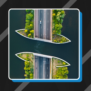
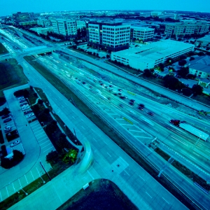
The 2026 American Association of State Highway and Transportation Officials (AASHTO) Geospatial Information System for Transportation (GIS-T) Symposium is the premier national gathering for professionals applying GIS technologies to solve complex transportation challenges. Attendees from Federal, State and Local agencies, along with industry partners, come together to exchange insights, strengthen peer connections and explore innovative applications of geospatial technology in modern transportation systems. The Symposium features high-quality technical sessions, workshops and special interest meetings designed to advance practice across the transportation GIS community. Participants can engage with emerging tools and elevate their professional skills through collaborative learning.
As Government transportation departments increasingly integrate advanced GIS capabilities to address complex mobility challenges, we remain focused on providing the strategic resources and technical expertise that enable agencies to deliver safer, more efficient transportation networks for the communities they serve. Our participation in the 2026 GIS-T Symposium reflects our commitment to connecting transportation professionals with GEOINT solutions that optimize route planning, enhance asset management and improve infrastructure decision-making across State and Local agencies nationwide.
March 23-26, 2026 | Washington, D.C. | In-Person Event
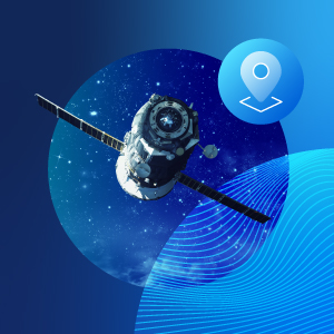
The SATELLITE Conference & Exhibition, part of SATShow Week, is one of the most influential global events for the satellite and space industry. It brings together commercial innovators, Government leaders and military decision makers from more than 110 countries to shape the future of space-enabled technologies and applications. The 2026 program delivers a high-impact mix of keynote presentations, expert-driven technical sessions, strategic discussions and a robust exhibition floor. The show’s dual focus, combining its flagship SATELLITE event with the dedicated GovMilSpace program, creates a uniquely comprehensive environment where mission-critical dialogue, industry partnerships and cross-sector innovation thrive. As the industry’s first and largest satellite-focused event of the year, SATELLITE 2026 offers attendees unparalleled networking, access to breakthrough technologies and opportunities to engage directly with leaders shaping commercial, Government and defense satellite priorities.
Sessions to look out for:
- Innovating at Speed — Keeping Pace with Space Race
- Agentic AI for Satellite Communications
- Ground Segment-as-a-Service: Unlocking the NaaS Model for Teleports
- AI-Enabled Cyber Defense for End-to-End Space Systems
Carahsoft looks forward to sponsoring the 2026 SATELLITE Conference & Exhibition, demonstrating our dedication to advancing satellite communications and space technologies across defense and civilian Government operations. Stop by our GovMilSpace booth where our team will be available to connect attendees with industry leaders throughout the Conference to discuss innovative approaches to strengthening satellite infrastructure that supports Government missions worldwide.
April 13-16, 2026 | Colorado Springs, CO | In-Person Event
The premier global space event, Space Symposium, convenes the space community, uniting leaders from Government, military, commercial industry, intelligence, research and investment sectors for four days of high-impact programming. The Symposium provides a unique platform to explore critical space issues, foster dialogue and drive innovation across every segment of the space ecosystem. This year marks the 41st Space Symposium and will feature keynote addresses, panels, awards and an expansive exhibit hall showcasing hundreds of organizations advancing space technology, services and capabilities. With its unmatched concentration of top-tier space professionals, senior decision makers and industry influencers, this event remains an essential destination for those shaping the future of the global space enterprise.
Sessions to look out for:
- AI & Space Track: Sessions focused on how artificial intelligence is transforming satellite operations, autonomous spacecraft, mission planning, Earth observation and space debris management
- Space Law & Regulation Track: Discussions on commercial space regulation, international space law and Government policy impacting space operations and industry growth
Carahsoft will have a booth at the 2026 Space Symposium. As military and civilian agencies pursue critical objectives in space exploration, we remain committed to connecting technology providers with mission leaders who require innovative solutions for national security and scientific advancement. Our team will collaborate with space professionals throughout the Symposium to explore how emerging technologies can accelerate mission success.
April 19-22, 2026 | National Harbor, MD | In-Person Event
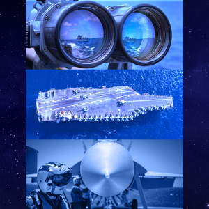
Sea-Air-Space, organized by the Navy League of the United States, is the largest annual maritime exposition in the nation, bringing together defense industry leaders, senior military decision makers and global maritime stakeholders to explore the latest advancements shaping United States maritime innovation. Across three days, attendees can participate in educational sessions, listen to policy discussions and explore exhibits that span the full maritime domain. The exposition serves as a hub for discovering emerging technologies, engaging in strategic defense discussions and forging meaningful connections with key military commands and industry partners. For anyone invested in the future of maritime operations, defense readiness and naval innovation, Sea-Air-Space remains an essential event and a powerful platform for advancing mission-critical solutions.
Session to look out for:
- Multi-Domain Integration and Naval Expansion in the Space Age
Stop by Carahsoft’s booth (#415) at Sea-Air-Space and explore technologies from our 36 demoing partners. Our longstanding partnership with the naval community enables our team to equip sea services with geospatial intelligence (GEOINT), autonomous systems and advanced technologies that enhance fleet readiness and operational superiority. Our team will engage with naval professionals throughout the exposition to discuss practical solutions for modernizing operations and bolstering defense capabilities. Additionally, Carahsoft will be hosting a networking reception for our vendor partners and their customers at Tom’s Watch bar on Tuesday, April 8th from 6:00-8:00pm ET.
April 22-23, 2026 | Suitland, MD | In-Person Event
FedGeoDay is the Federal Government’s principal event devoted to advancing Open Geospatial Ecosystems, the combination of open source geospatial software, open/collaborative mapping, open science innovation and open engagement models that drive modern Federal data stewardship. The 2026 program centers on the theme “Building Ecosystems for Supporting Federal Data Stewardship,” bringing together Federal program managers, technology leaders, industry partners, Non-Governmental Organizations (NGOs) and open source community contributors. The event creates a collaborative environment where participants share ideas, learn from real-world Federal implementations and strengthen the networks that power geospatial innovation across Government.
Sessions to look out for:
- Keynotes and panels on open geospatial ecosystems for Federal data stewardship
- Workshops on open data and software strategies for Federal programs
Carahsoft will be returning to FedGeoDay in 2026, reinforcing our commitment to cultivating open geospatial ecosystems with the Federal Government. Our participation underscores the importance of knowledge-sharing and community collaboration in unlocking geospatial capabilities that enable agencies to tackle complex challenges while maximizing the value of location-based intelligence for mission achievement.
May 3-6, 2026 | Aurora, CO | In-Person Event
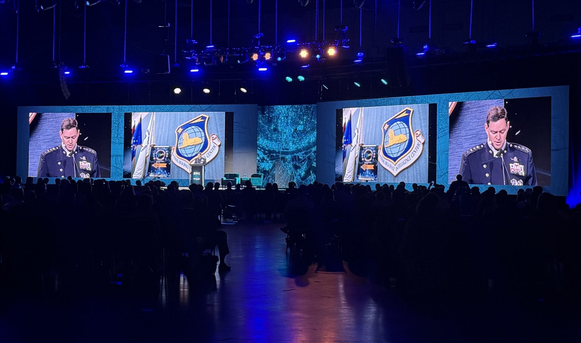
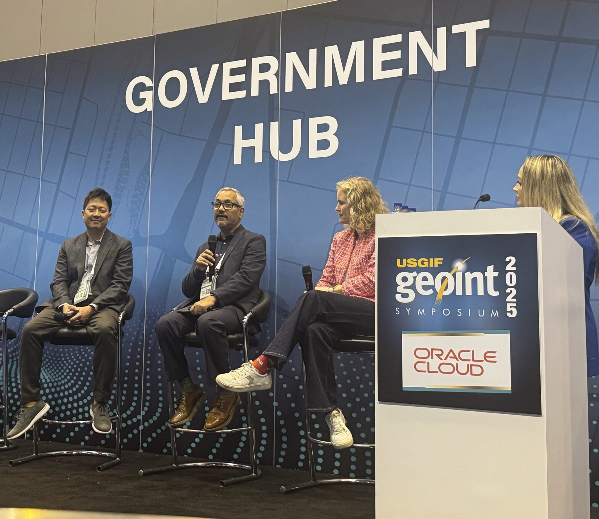
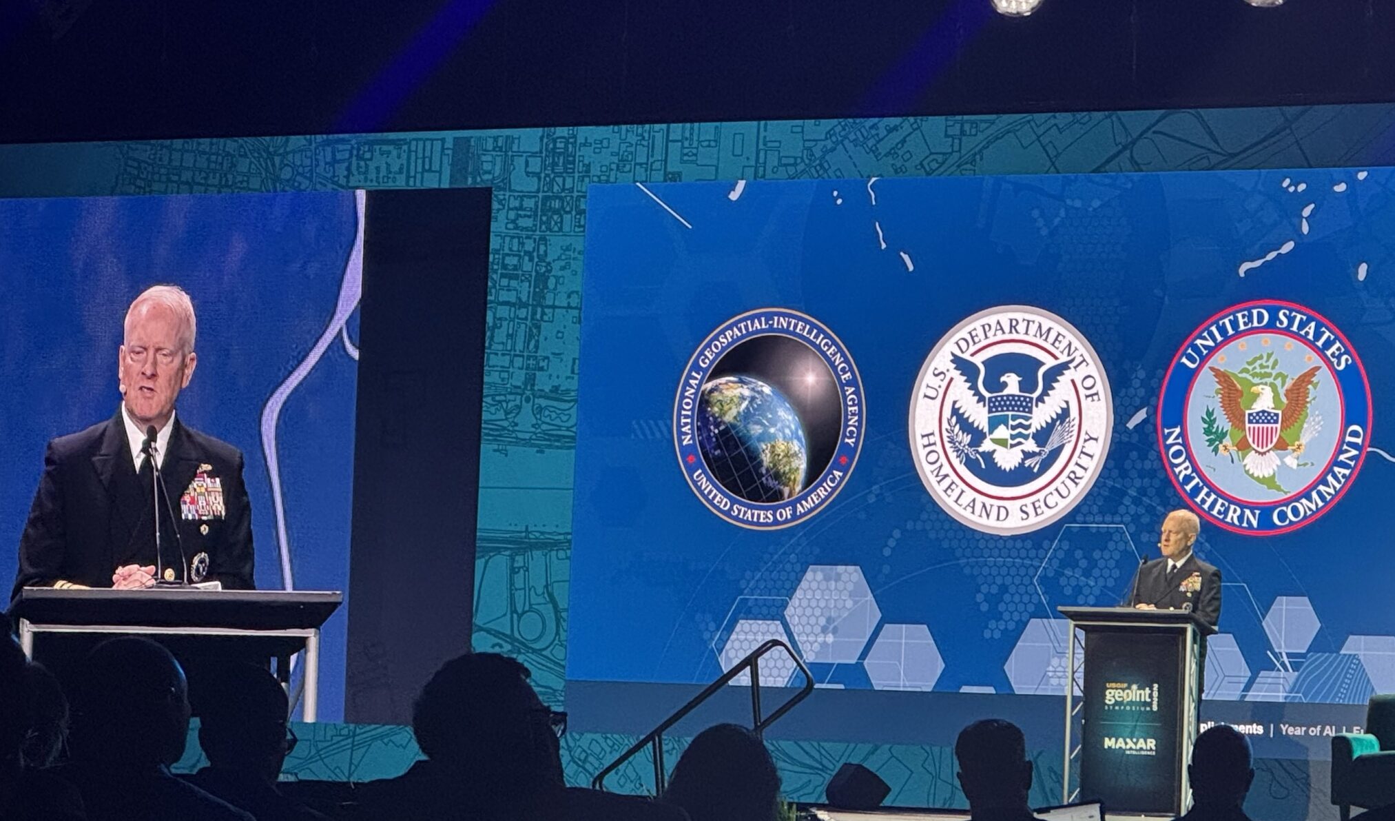
The GEOINT Symposium, hosted by the U. S. Geospatial Intelligence Foundation (USGIF), is the nation’s largest annual gathering of GEOINT professionals, joining Government, industry and academic leaders to advance the geospatial tradecraft. The 2026 theme, “Building a Secure Tomorrow Together,” emphasizes the collaborative efforts and innovative strategies shaping the future of GEOINT. Attendees will engage with senior Government officials, industry innovators and thought leaders to address the challenges and opportunities in today’s complex geopolitical landscape. The event features industry-leading keynote speakers, main stage panels, hands-on training sessions and the expansive GEOINT Exhibit Hall showcasing cutting-edge technologies shaping the future of intelligence, security and national resilience. Training offerings span specialized sessions and student-focused programs, providing opportunities for professionals to present research, expand networks and gain exposure to the broader community.
Sessions to look out for:
- Main Stage Panels: National security executives and GEOINT professionals will discuss advancements redefining geospatial intelligence, providing insights into the latest developments and future direction
- Training Sessions: Participants can engage in hands-on training on topics such as mission planning, precision timing and navigation, enhancing their practical skills and knowledge in GEOINT applications
Carahsoft will have a strong presence at GEOINT 2026, featuring a pavilion (Booth #1823) with partner demos throughout the show. As intelligence agencies pursue enhanced situational awareness, precision analytics and real-time decision superiority, we remain focused on linking GEOINT professionals with capabilities that amplify mission effectiveness. Additionally, Carahsoft will host a networking reception offering an evening of food, music and networking. Check back more details closer to the event!
May 11, 2026 | Chicago, IL | In-Person Event
Go Beyond is Samsara’s single-day summit designed for leaders in State and Local Government, as well as Public Sector operational teams. The event convenes Public Sector professionals to explore how peers across agencies are using Samsara’s technology to improve safety, increase efficiency and strengthen fiscal accountability. Through focused sessions on integrated safety, asset utilization and workflow modernization, attendees will learn real-world strategies for achieving total visibility into fleets and equipment, closing operational gaps between the field and office and reducing incidents and costs with AI-powered tools. The summit also provides dedicated networking opportunities for participants to share challenges, compare solutions and learn from agencies tackling similar challenges. As a free, high-value event for Government professionals, Go Beyond offers an exclusive chance to see how Samsara’s Connected Operations Platform can help agencies deliver better service to their communities while maximizing taxpayer dollars.
Sessions to look out for:
- AI & Data-Driven Public Sector Safety
- Modern Infrastructure & Maintenance Insights
- Emergency Response & Operational Efficiency
Carahsoft is excited to sponsor Go Beyond 26, showcasing our passion for helping Government agencies harness connected operations technology to optimize fleet management, enhance asset visibility and improve service delivery. As transportation departments, public works agencies and emergency services increasingly depend on Internet of Things (IoT) platforms for real-time operational insights, we are committed to equipping leaders with intelligent solutions that drive efficiency and accountability.
May 18-21, 2026 | Tampa, FL | In-Person Event
SOF Week is the leading annual conference for the international Special Operations Forces (SOF) community, sponsored by U.S. Special Operations Command (USSOCOM) and the Global SOF Foundation. The event unites thousands of special operators, defense industry leaders and international partners to collaborate, learn and honor the SOF community. SOF Week showcases trailblazing capabilities, strategic priorities and next-generation technologies shaping the future of SOF missions. The program emphasizes innovation, transformation and operational excellence, featuring live demos, tactical discussions and opportunities to engage directly with senior leaders.
Sessions to look out for:
- ISR, GEOINT and Mission Planning Technologies
- SOF Interoperability and Multi-Domain Operations
- Emerging Technologies Supporting Tactical Decision-Making
Carahsoft will host a pavilion (#633 – SOF Warrior Zone) at SOF Week, reinforcing our profound respect for operators who depend on superior GEOINT and technology advantages in high-stakes environments. Our team will collaborate with SOF professionals throughout the week to explore how geospatial innovations, autonomous systems and advanced communications enable mission success while keeping operators safe.
June 8-10, 2026 | Philadelphia, PA | In-Person Event
This Cesium Developer Conference is a community-focused gathering of developers, engineers and integrators from around the world who work with open-3D geospatial technologies. Attendees come together to share ideas, solve real-world challenges and collaborate to shape the future of open geospatial technology. The program features an optional pre-conference workshop, two full days of technical sessions, keynotes, breakout tracks, lightning talks and hands-on learning opportunities. With its strong emphasis on openness, interoperability and community collaboration, the Cesium Developer Conference is an essential event for anyone building the future of 3D geospatial.
Sessions to look out for:
- Young Professionals Event: Dedicated opportunity for young professionals to meet, network and engage with the Cesium technical team
- The Developer Cove: A dedicated space to meet directly with Cesium experts to discuss projects, new features or any deep-dive topics
Carahsoft is pleased to participate in the Cesium Developer Conference, supporting the developer community in their mission to advance 3D geospatial visualization and open-platform innovation for Government applications. As Federal agencies pursue immersive mapping capabilities for mission planning, disaster response and infrastructure analysis, we recognize developers as essential partners in transforming geospatial technology.
November 17-20, 2026 | Reston, VA | In-Person Event
CyberSat Summit is an event for leaders securing space and satellite systems, uniting Government, military, intelligence and commercial cybersecurity experts to confront rapidly escalating threats to space infrastructure. The Summit delivers deep technical content and solutions-focused discussions tailored to the space cybersecurity community. Across keynote sessions, technical briefings and mission-focused workshops, CyberSat emphasizes practical defense strategies, emerging threats and resilient architectures for satellite communications, ground systems and space-based networks.
Sessions to look out for:
- Classified & Unclassified Sessions: Exclusive intelligence insights, real-world attack scenarios and advanced countermeasures
- Advanced Technical Tracks: Safeguarding satellite networks, mitigating AI-driven threats and improving cyber resilience
- Emerging Technologies: Explore Zero Trust, quantum, RF signal analysis, digital twin and AI-driven security
Carahsoft champions space satellite operators by participating in events like the CyberSat Summit. We understand the importance of events that allow professionals to explore Zero Trust frameworks, quantum encryption strategies and defensive measures, so their organizations can ensure mission continuity for critical satellite operations that support intelligence, communications and national defense objectives.
More Events
February 16-18, 2026 | Denver, CO | In-Person Event
Geo Week is a leading industry event for geospatial and mapping professionals to explore advancements in spatial intelligence, digital and mobile mapping, Light Detection and Ranging (LiDAR), AI and machine learning, reality capture, digital twins and more. The event showcases how advanced geospatial tools are transforming decision-making and real-world project delivery. Geo Week features expert-led sessions, keynote presentations, workshops and panel discussions designed to help attendees anticipate industry trends and tackle complex challenges with modern geospatial workflows. The exhibit hall brings together vendor-neutral demonstrations of cutting-edge solutions spanning the full geospatial and built-world technology ecosystem.
Sessions to look out for:
- AI and Automation in Geospatial Workflows
- LiDAR, Reality Capture and 3D Modeling Advancements
- Digital Twins for Infrastructure and Transportation
- UAS/Drone Integration for Mapping and Inspection
- Public Sector and Critical Infrastructure Case Studies
Carahsoft will have a 20×20 booth (#803) on the show floor at Geo Week. We are dedicated to connecting Government professionals with the expertise and proven technologies needed to modernize geospatial workflows. Our team will engage with attendees throughout the conference to facilitate meaningful discussions on implementing 3D innovations and integrated platforms that support smarter, data-driven decision making.
November 9-10, 2026 | Washington, D.C. | In-Person Event
Space & Satellites USA, hosted by Reuters Events, brings together senior leaders from Government, commercial space and policy backgrounds for two days of strategic discussions focused on the space economy. Unlike traditional expo-style conferences, this event is intentionally capped at 250 director-level and above decision makers to facilitate meaningful interaction. The program centers around high-velocity transformation in the satellite and space sectors, where commercial market is now setting the technological pace. Attendees engage through immersive sessions, interactive formats and targeted one-on-one meeting opportunities designed to accelerate partnerships, inform strategy and help organizations capture prospects in the space economy.
Sessions to look out for:
- Strategic executive roundtables
- Space industry policy and regulation forums
- Private workshop sessions on space market acceleration
- Thought leadership panels with Government agency participation
Carahsoft will have a booth at Space & Satellites USA 2026, reinforcing our commitment to Government and commercial organizations revolutionizing space-based services and satellite infrastructure. Our team will engage with attendees during the conference to discuss practical approaches for expanding space capabilities that serve both national interests and global connectivity requirements across the sector.
TBD, 2026 | TBD | In-Person Event
Free and Open Source Software for Geospatial (FOSS4G) North America is the premier open geospatial technology and business conference, offering a vibrant, community-driven environment for technologists, end-users, researchers and decision makers learn, collaborate and innovate together. The event brings the free and open source geospatial ecosystem to life, providing a welcoming space for attendees to share real-world experiences, explore new tools and deepen their expertise in free and open source geospatial software. With a mix of technical talks, networking events and hands-on learning opportunities, FOSS4G North America continues to serve as a key hub for professionals working across mapping, analytics, data science, GIS development and open source geospatial solutions.
Carahsoft is proud to sponsor FOSS4G North America. Our participation seeks to highlight the technologists, academics and practitioners building accessible platforms that empower agencies with robust mapping, analysis and visualization capabilities while fostering the collaborative spirit that makes open source geospatial technology a cornerstone of Government operations.
TBD, 2026 | TBD | In-Person Event
The GeoGov Summit is a national annual forum that brings together leaders and experts from Government, industry, academia and the broader geospatial community to advance the U.S. geospatial strategy. The Summit focuses on the evolving role of geospatial technologies in shaping smarter decision making, more efficient governance and stronger, more resilient communities. Centered around the Government-to-Government (G2G) and Government-to-Business (G2B) collaboration, GeoGov provides a strategic environment for discussing how the National Spatial Data Infrastructure (NSDI) and emerging location-intelligence capabilities can drive innovation, improve Public Sector efficiency and support national development. Designed as a working forum rather than a traditional conference, GeoGov fosters partnership-building, discovery of innovative geospatial solutions and meaningful conversations on how geospatial data, standards and technology can deliver measurable impact across society, the economy and the environment.
Carahsoft will be attending the 2026 GeoGov Summit. As policymakers and technology providers work together to improve data-driven governance, infrastructure resilience and interagency coordination, we are helping to make partnerships that strengthen geospatial foundations across Government.
These events provide invaluable opportunities for Government professionals to gain practical insights, discover proven solutions and build relationships with peers and technology leaders in the geospatial field. Carahsoft is honored to participate in these events, facilitating connections between agencies and the geospatial innovations that enable smarter decision-making, enhanced situational awareness and improved mission outcomes. Whether modernizing mapping infrastructure, securing satellite networks or advancing spatial data strategies, the geospatial community thrives through knowledge-sharing and collaboration. We look forward to engaging with you throughout the year as we work together to unlock the full potential of location intelligence for Government missions.
To learn more or get involved in any of the above events, please contact us at GISMarketing@Carahsoft.com or SpaceTechMarketing@Carahsoft.com.
For more information on Carahsoft and our industry-leading geospatial technology partners, visit our geospatial solutions portfolio and geospatial events page.


 The Current Metaverse