
The Top 5 Insights for Government from GSMCON 2026
Discover how Government agencies are evolving their social media strategies to build trust, boost engagement and deliver meaningful public experiences.
OSINT and Executive Protection: A Critical Capability for Modern Security Operations
Enhance executive protection with OSINT, identify threats early, monitor digital risks and enable proactive, intelligence-led security.
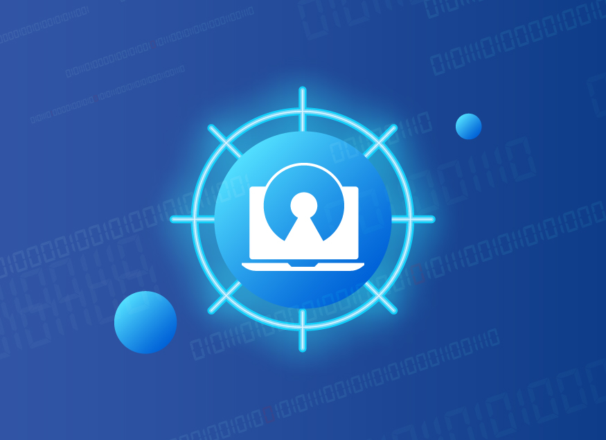
From Visibility to Zero Trust: Enabling Federal Agency Cybersecurity at Scale
Achieve Zero Trust with full network visibility. Discover how TAPs, packet brokers and unified security enable compliance and threat defense.


Latest in Technology and Government
-

The Top 5 Insights for Government from GSMCON 2026
Discover how Government agencies are evolving their social media strategies to build trust, boost engagement and deliver meaningful public experiences.

OSINT and Executive Protection: A Critical Capability for Modern Security Operations
Enhance executive protection with OSINT, identify threats early, monitor digital risks and enable proactive, intelligence-led security.

From Data Islands to Defensible Intelligence: Modernizing Public Sector Transportation Infrastructure
Modernize Public Sector transportation with connected data and defensible intelligence. Improve visibility and compliance across the project lifecycle.

Hybrid AI That Moves with the Mission
Hybrid AI enables Federal agencies to deliver secure, real-time intelligence across cloud, on‑prem and edge environments.

Deploy AI in Days, Not Months: The Infrastructure Imperative for Mission-Aligned Models
How Federal agencies move AI from pilot to production at mission speed, by aligning strategy, data, infrastructure and governance for scalable outcomes.

Evolving AI Infrastructure Without Disrupting Government Operations
Learn how Government agencies can modernize AI infrastructure at scale without disrupting operations, security or mission workflows.

How Standardized APIs Streamline AI Integration into Government Workflows
Learn how standardized APIs enable secure, mission‑ready AI integration for Government, modernizing legacy systems without disrupting critical operations.

Custom AI Without the Complexity: How Automated Fine-Tuning Accelerates Mission-Ready Models
Discover how agencies move beyond off‑the‑shelf AI with accelerated fine‑tuning, secure platforms and lifecycle management.

Why API-Driven Architecture is the Backbone of Scalable Government AI Solutions
Discover how API-driven architecture empowers Government to adopt AI securely, modernize legacy systems and scale innovation without disruption.
Join Our Community
Partner Insights
-
From Visibility to Zero Trust: Enabling Federal Agency Cybersecurity at Scale
Achieve Zero Trust with full network visibility. Discover how TAPs, packet brokers and unified security enable compliance and threat defense.
-