
Geospatial intelligence (GEOINT) stands at the forefront of national security innovation, where cutting-edge technologies are rapidly transforming how decision-makers understand and respond to global threats.
At GEOINT Symposium 2025, industry experts, Government officials and thought leaders joined to discuss the latest technology innovations. This year’s conference saw discussion centering around several topics, such as the integration of artificial intelligence (AI), workforce development and new innovations.
Carahsoft and over fifty of our technology partners attended to showcase solutions in AI, cybersecurity and more to support GEOINT mission objectives. Watch all GEOINT sessions to discover how emerging technologies, policy shifts and mission priorities intersect across the Public Sector.
Here are my top six takeaways.
Global Intelligence Coordination and Artificial Intelligence Integration
In the session “Global Intelligence, Local Impact: Source and Analysis at the Speed of Mission,” speakers Gary Dunow, the Executive Vice President at USGIF, Tracy Maloney, the Deputy Director of Source Operations at National Geospatial-Intelligence Agency and Shelby Pierson, the Director of Analysis at National Geospatial-Intelligence Agency discussed tools that maximize efficiency to help fulfill mission objectives. The National Geospatial-Intelligence Agency (NGA) aims to form efficient partnerships that enhance operational effectiveness across all Combatant Commands (COCOMs), and help with the development of streamlined tools that support current DOD intelligence needs. Change detection capabilities, large language models (LLMs) and other AI models are becoming increasingly valuable, with NGA focusing on building confidence in these technologies while curating essential content. The intelligence community is prioritizing geolocated open-source reporting through two active opportunities: metadata tagging to address imagery gaps regardless of source, and cross-domain solutions enabling seamless integration of varied intelligence sources from both domestic and foreign origins. Tulsi Gabbard, the Director of National Intelligence (DNI), emphasized the importance of proactive information sharing rather than waiting for agency requests, while simultaneously building workforce trust in AI through mechanisms for expressing concerns, understanding risks, acknowledging early adoption already underway and cultivating confidence in these emerging technologies.
Rapid Space-Related Intelligence Sharing
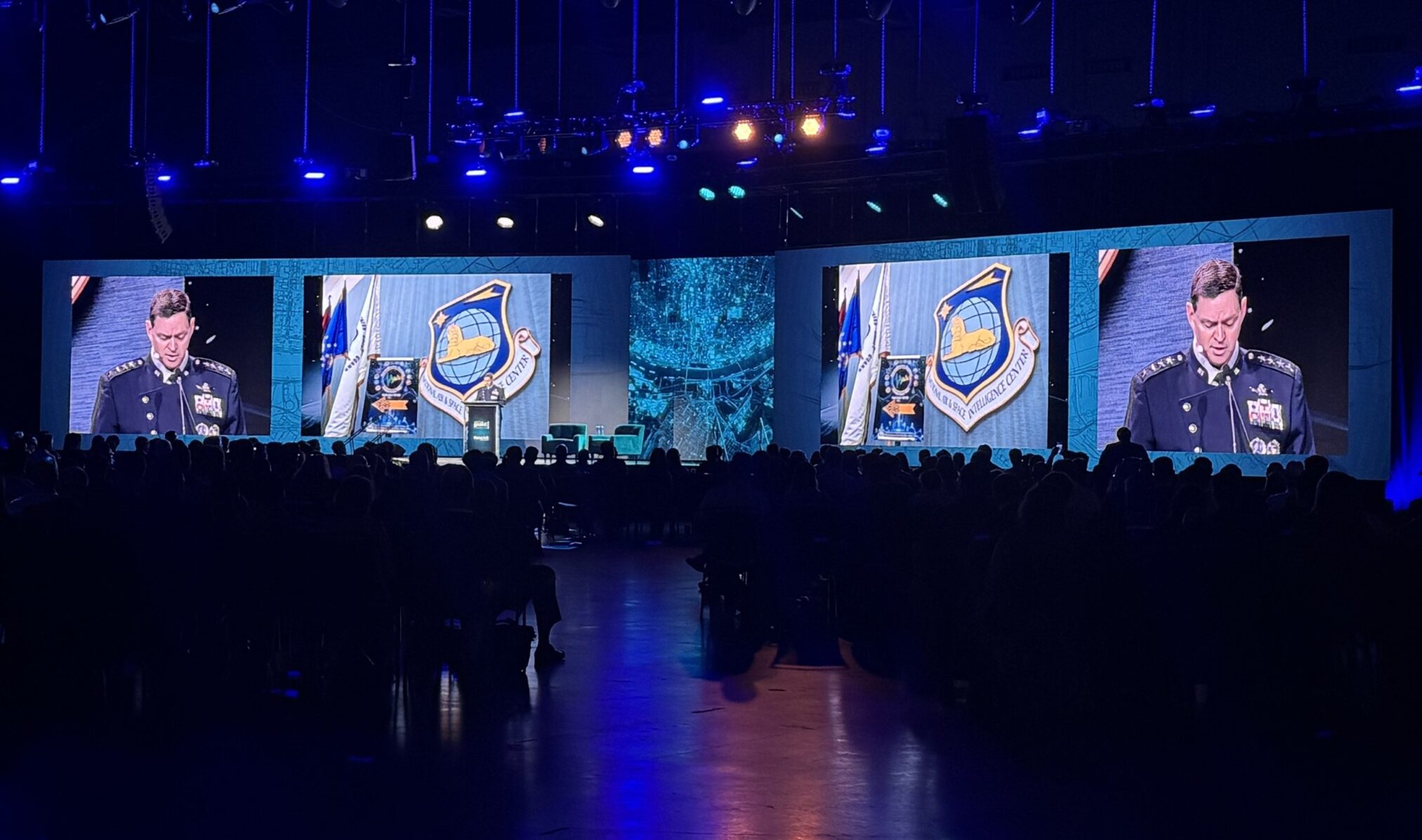
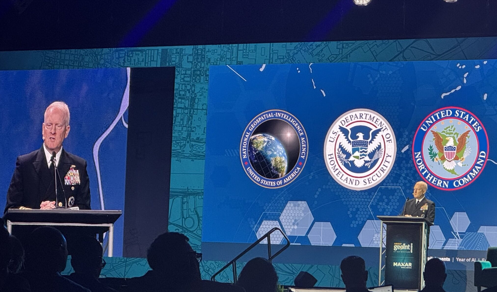
The U.S. Space Force and NGA signed a memorandum of agreement at GEOINT, which was discussed at the keynote hosted by General Chance Saltzman, the Chief of Space Operation at U.S. Space Force, Vice Admiral Frank Whitworth, Director at the NGA, and Dan Smoot, the Chief Executive Officer at Maxar Intelligence.
This memorandum comes from the demand for faster access to space-based intelligence for military missions. The agreement enhances intelligence sharing by streamlining coordination between the National Reconnaissance Office (NRO)’s collected commercial satellite imagery, the NGA ‘s data analytics that produce comprehensive intelligence products and the Space Force, who then delivers space-related intelligence to military commanders through its Tactical Surveillance, Reconnaissance and Tracking (TacSRT) program. Through this memorandum, the military gains rapid situational awareness and heightened synergy across Federal agencies. This collaboration streamlines intelligence sharing, enabling faster and more efficient coordination between
GEOINT Initiatives
In her keynote address, Tulsi Gabbard, the Director of National Intelligence of the United States, outlined the Federal approach to GEOINT initiatives, which emphasizes peace maintenance and military readiness. According to Gabbard, to maintain excellence, the Federal Sector must maintain pace with trending technology. Gabbard addressed procurement challenges facing small businesses and stressed the administration’s commitment to technology advancement, geospatial funding priorities and cross-agency partnerships. One such technology, AI, represents both a challenge and opportunity to transform geospatial professional roles without replacing human expertise. The Intelligence Community’s primary focus is conflict prevention rather than winning conflicts, with the GEOINT discipline building crucial trust.
NATO Priorities in Intelligence and Defense
The North Atlantic Treaty Organization (NATO) is actively investing in cutting-edge technologies across the space and sea. During Major General Paul Lynch, the Deputy Assistant Secretary General of Intelligence and NATO International Military Staff’s keynote address, he discussed Federal priorities to integrate AI to stay ahead of emerging threats. In response to these evolving threats, NATO has launched ambitious military exercises, including STEADFAST Defender 2024. One of NATO’s largest military exercises, STEADFAST Defender 2024 is actively pursuing digital transformation and intelligence sharing across while developing closer partnerships with industry experts. NATO’s recent initiatives with the private sector have launched underwater vehicles to aid in mission objectives of remaining at the forefront of defense.
Education and Workforce Development in Geospatial Intelligence

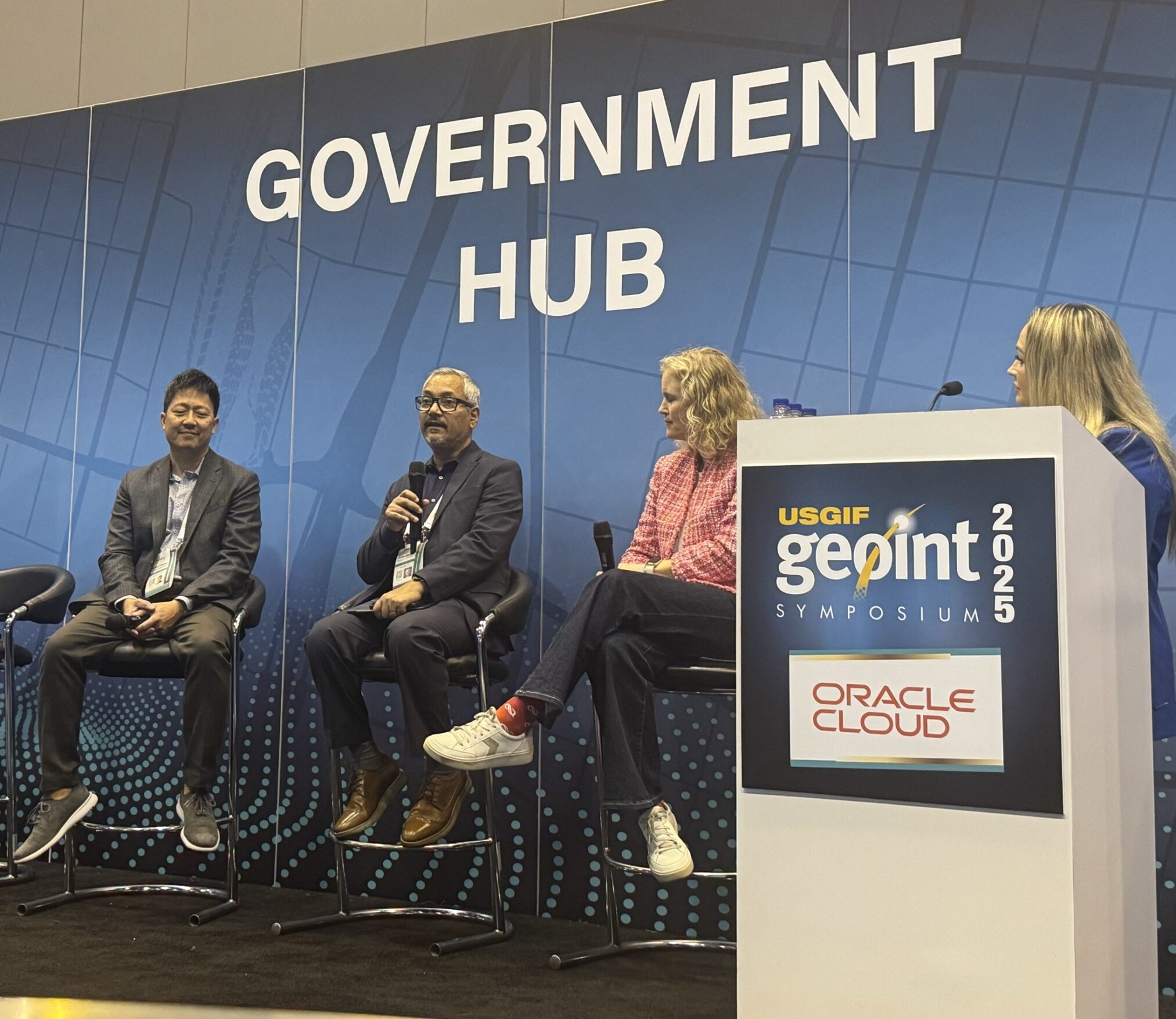
During her keynote address, Tulsi Gabbard emphasized that the geospatial field faces a critical shortage of young talent. Government programs that provide opportunities for new generations are important to inspiring growth. One such program is the United States Geospatial Intelligence Foundation (USGIF)’s “GEOINT Symposium Young Professionals Golden Ticket”, which provides mentoring sessions with GEOINT professionals and opportunities at USGIF events. Carahsoft’s Geospatial Internship Program is another opportunity for incoming professionals. Pathways for further educational curriculum development were discussed at the session “Keynote: Digital Twins and GEOINT – Transforming Intelligence with 3D Analytics.” This keynote offered encouraging developments that will allow the incoming workforce to get involved. The field is becoming increasingly accessible, with open-source data platforms, such as GitHub, significantly lowering entry barriers for newcomers. New opportunities in low-code and no-code environments have been created. While the speakers acknowledged a current pause in Government hiring, the democratization of geospatial technology allows students with creative mindsets to leverage open-source data to enter geospatial careers.
A Hub for Geospatial Capabilities
St. Louis is establishing itself as the epicenter of GEOINT and geospatial efforts. At his keynote session, Senator Eric Schmidt discussed the coordinated statewide university initiative to train the next generation of professionals and anchored with the T-Rex innovation center. This transformation is further enhanced by the new geospatial employment pilot program headquartered at the NGA West, recognizing GEOINT’s critical role in providing commanders with clearer operational pictures. As military leaders increasingly demand more ISR (Intelligence, Surveillance, and Reconnaissance) and GEOINT capabilities, strategic investments in people, partnerships and platforms continue to provide the United States with its competitive edge in the intelligence domain.
Through developments for the future workforce, marine technology and defense initiatives, the GEOINT community maintains the nation’s security. As industry, Government and academia come together, these efforts ensure the United States remains prepared to meet global challenges with agility, innovation and intelligence-driven precision.
To learn more about the innovative technologies featured at GEOINT, visit Carahsoft’s Geospatial portfolio. For additional research into the key takeaways that industry and Government leaders presented at GEOINT, view Carahsoft’s full recap.