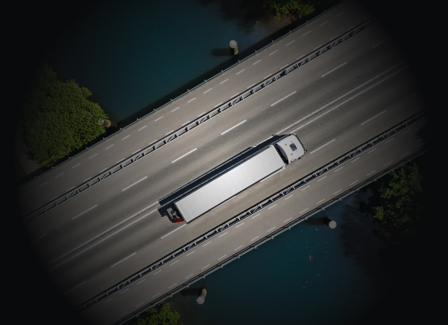
Transportation agencies are delivering increasingly complex projects. As most roadway designs include bridge structures, keeping critical engineering information connected across multidisciplinary teams becomes essential to maintaining project momentum.
For agencies already using OpenRoads Designer, the challenge often begins when roadway geometry is exported, recreated or manually transferred rather than shared across disciplines. As roadway designs change, engineers spend more time coordinating updates and less time advancing the project.
A single roadway alignment or profile change can trigger duplicate modeling, additional quality checks and extra coordination between roadway and bridge teams. Those manual handoffs consume engineering time that agencies can no longer afford. At the same time, transportation teams are managing larger capital programs, aging infrastructure and persistent staffing shortages. Improving the flow of engineering information between disciplines has become just as important as improving the design itself.
When One Alignment Change Becomes Hours of Coordination
Consider a common transportation project. A roadway alignment shifts three feet to avoid an unexpected utility conflict during final design.
The roadway team updates the alignment. If the bridge team is working from exported files or recreated geometry, engineers must first verify the revision. They then rebuild portions if not the bridge model, recalculate the design, review plan sheets and validate downstream documentation before work can continue.
The extra effort doesn’t come from the design change itself. It comes from managing disconnected information. Repeat that process several times during a project, and the impact on schedules and engineering resources quickly adds up.
What Does a Connected Transportation Workflow Look Like?
Design changes are inevitable. The difference is how efficiently teams respond to them.
A connected transportation workflow helps engineering teams spend less time managing changes and more time delivering projects. By sharing roadway geometry directly between OpenRoads Designer and OpenBridge Designer, bridge engineers always work from the latest roadway model.
As roadway alignments and profiles change, teams remain coordinated, reducing rework and preserving design intent throughout the project. The result is less duplicate work, fewer coordination errors and more efficient project delivery.
Better Workflows Improve Coordination and Capacity
Transportation agencies depend on seamless collaboration between internal teams and engineering consultants. When project information is shared through disconnected files and separate models, even routine design changes can create delays, duplicate effort and coordination challenges creating unnecessary risks.
Connected digital workflows keep project teams aligned around current design information. The result is less time spent managing updates, fewer coordination issues and more engineering capacity to deliver projects on schedule.
Better Transportation Projects Start with Better Information Flow
Transportation projects will always change. Utilities move. Public feedback influences design. Funding priorities shift.
The goal isn’t to eliminate those changes. It’s to ensure those changes move through roadway and bridge engineering with less manual work and fewer opportunities for coordination errors while minimizing risks.
For agencies already using OpenRoads Designer, extending roadway models into OpenBridge Designer helps keep roadway alignment, profile and superelevation connected.
Next Steps
See what digital project delivery looks like in practice.
Download the Road and Bridge Engineering Solution Overview to explore the capabilities, workflows and real-world results that are helping transportation organizations accelerate design and improve project outcomes.
Carahsoft Technology Corp. is The Trusted Government IT Solutions Provider, supporting Public Sector organizations across Federal, State and Local Government agencies and Education and Healthcare markets. As the Master Government Aggregator for our vendor partners, including Bentley, we deliver solutions for Geospatial, Cybersecurity, MultiCloud, DevSecOps, Artificial Intelligence, Customer Experience and Engagement, Open Source and more. Working with resellers, systems integrators and consultants, our sales and marketing teams provide industry leading IT products, services and training through hundreds of contract vehicles. Explore the Carahsoft Blog to learn more about the latest trends in Government technology markets and solutions, as well as Carahsoft’s ecosystem of partner thought-leaders.