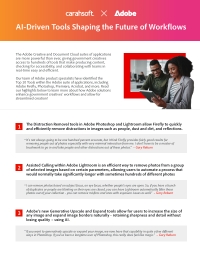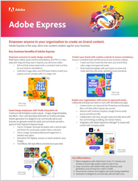


Comprehensive Digital Solutions for the Public Sector
Adobe’s trusted enterprise software solutions enable organizations to seamlessly deliver personalized services and information to constituents anytime, across various channels. Adobe Government solutions extend experience-driven, digital capabilities to customers, streamlining service delivery and fostering collaboration via modern, connected engagement strategies. From creative design to navigating the complexities of the customer journey, Adobe helps agencies modernize and improve access to essential public programs and resources.
Carahsoft, the master GSA and SLSA Schedule Partner for Adobe products and services, supports a vast ecosystem of resellers and consulting partners. This collaboration ensures Government agencies can optimize constituent-facing applications while automating back-end processes. Carahsoft offers the full suite of Adobe solutions on GSA MAS Schedule #47QSWA18D008F and SLSA #EN578-232335/071/SMS.
Discover how Adobe enhances the Public Sector's digital capabilities through four main product offerings:
- Adobe Creative Cloud streamlines content creation and public messaging with intuitive graphic design and video editing software.
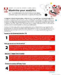
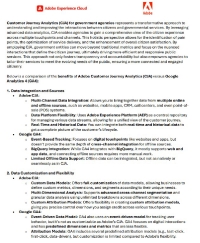
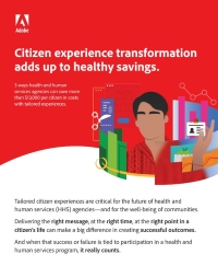
- Adobe Experience Cloud boosts your agency's marketing and outreach strategies by enabling personalized, data-driven constituent engagement.
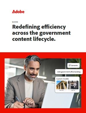
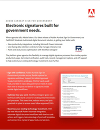
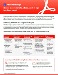
- Adobe Document Cloud enhances the efficiency and security of document management and PDF workflows.
- Adobe eLearning Suite maximizes organizational productivity with a robust learning management system (LMS) for online training and education.
Together, these integrated digital solutions can help your organization improve service delivery, increase operational efficiency and engage more effectively with the public.
Connect with an Adobe Government Solutions Expert
By implementing Adobe’s innovative digital solutions, Government agencies can improve service delivery and constituent engagement while achieving operational efficiencies. Connect with an Adobe specialist to discover how your organization can leverage the power of Adobe's digital solutions today.
Upcoming Events

Virtual Event
|
Preparing Government Websites for AI-Driven Search
Hosted By: Adobe & Carahsoft
|
|
Virtual Event
|
Collaboratively Create Stunning Graphics with Ease
Hosted By: Adobe & Carahsoft
|

Onsite Event
|
Adobe ColdFusion Summit Vegas 2026
Hosted By: Adobe & Carahsoft
|
|
Onsite Event
|
Adobe Learning Summit 2026 Vegas
Hosted By: Adobe
|
|
Virtual Event
|
Adobe & Credera: Commercial Innovation Meets Government Mission
Hosted By: Adobe, Credera & Carahsoft
|
|
Virtual Event
|
Accelerate Digital Document Creation and Collaboration
Hosted By: Adobe & Carahsoft
|
|
Virtual Event
|
Adobe JELA Office Hours
Hosted By: Adobe & Carahsoft
|
|
Onsite Event
|
Adobe JELA Warfighter Symposium
Hosted By: Adobe & Carahsoft
|